Exploring the history and heritage of Plymouth’s Leats with local historian Stephen Luscombe

Drake Bringing the Water by Burrator Fall by Samuel Cook (1806-1859). Original housed in Buckland Abbey. Credit The Box, Plymouth
Plymouth’s three leats began as three separate solutions to the same problem: rapidly expanding towns with limited fresh water supplies locally. Each leat was shaped by its own geography, governance and purpose, and each evolved differently as engineering advanced. Over four centuries, all three systems moved away from exposed watercourses and towards reservoirs, pipes, pumps, upland capture and controlled distribution. Their engineering histories show three distinct paths to resilience.
Plymouth Leat
Plymouth’s leat, completed in 1591, began as a simple moorland ditch cut from the River Meavy. The scheme arose from the Corporation’s long‑standing concern over water supply and from the 1584 Water Bill, one of the first introduced that session. Drake’s involvement began politically: he sat on the committee that amended the Bill to include mill‑power, and he was already a Corporation mill lessee at Millbay. The Spanish Armada forced the Corporation to divert its attention to defence, delaying the scheme for four years. Once that threat had passed, Drake took personal charge of the leat contract in 1590. He proved a firm taskmaster, driving the work to completion on time and under budget. Construction was overseen by James Lampen and carried out by two foremen, William Stockham and John Stevane, each commanding a seventeen‑man gang. Thirty‑five men cut the channel from the Meavy watershed to Plymouth between December 1590 and Easter 1591. Commercially, the arrangement was advantageous. Drake received £200 for construction and £100 for compensation payments, but completed the work for around £100 in labour and £60 in compensation, retaining the difference. One way he reduced compensation was by offering landowners future use of the water passing over their land, lowering immediate costs. He also secured a 67‑year lease on mills fed by the leat, including two at Crownhill and four in the town, generating around £200 a year. Drake profited from the undertaking, but he also delivered exactly what was required: a dependable supply of Dartmoor water for Plymouth and for the ships using Sutton Harbour. The leat therefore served civic, commercial and military purposes, and its reliable flow quickly became central to a wide range of activities along its course.
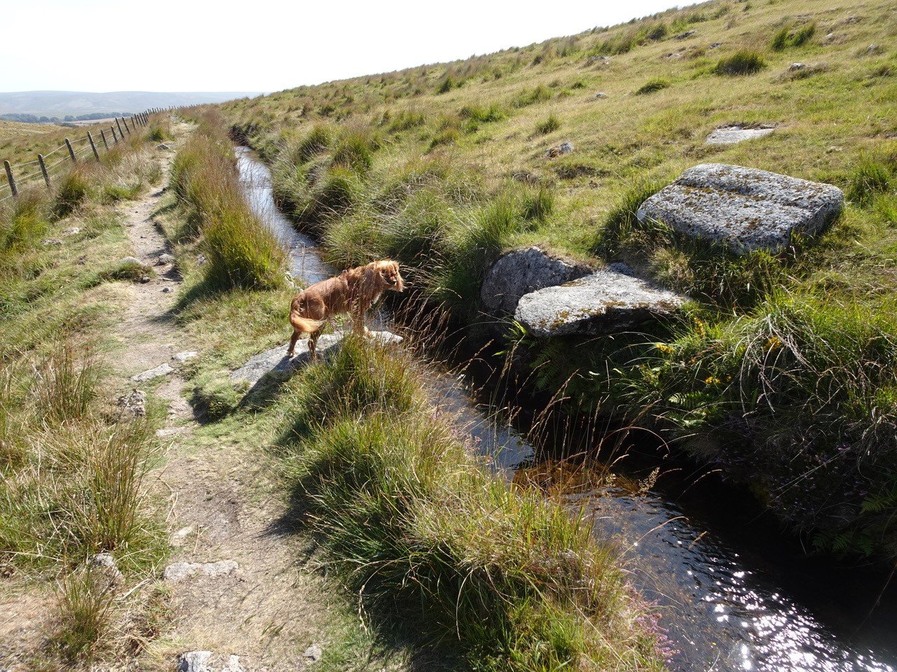
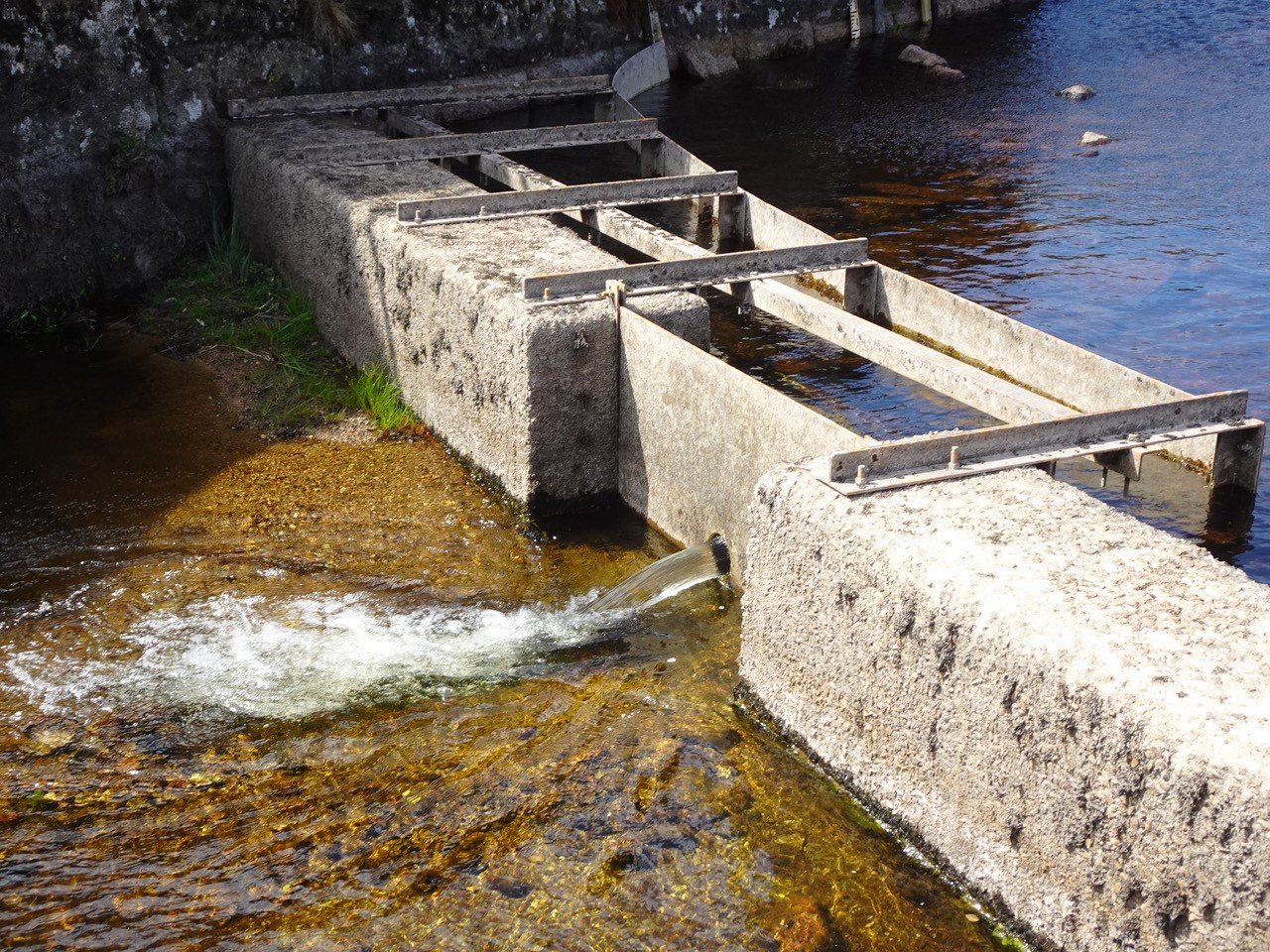
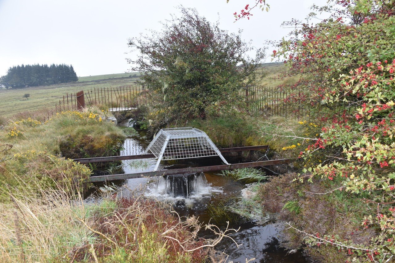
Water meant power: dependable, predictable and available day and night. Along its course from Dartmoor to Plymouth, the leat supported extensive mining, agricultural and industrial activity. In the mining districts, launders and feeder leats were used to scour hillsides, drive stamping mills that crushed ore, power buddles that separated tin, operate bellows in blowing houses for smelting, and pump unwanted water from workings. Farmers diverted water for irrigation and livestock, often cutting small feeders to bring water to fields and yards. Fulling and tucking mills on the moors also relied on the leat, using water‑powered hammers to clean, thicken and finish woollen cloth. As the leat approached Plymouth, the same reliability supported Drake’s mill, the Old Town flour mill and the bone mill, along with tanners, fellmongers, brewers, coopers and various small manufactories. Numerous mill‑feeder leats were dug away from the main channel, regulated by ox‑eye (bullseye) apertures whose diameter determined the price paid; Manadon held a two‑inch ox‑eye, Warleigh a five‑inch, and Warleigh’s supply was withdrawn in the early nineteenth century for taking too much. Mill owners frequently undertook and paid for their own maintenance of the leat and its feeders, clearing channels, repairing banks and enlarging launders to preserve or improve their flow. As pressures increased, the borough eventually appointed dedicated Keepers of the Water to keep the channels clear, repair damage and maintain a dependable supply.
The engineering reality of the early leat was vulnerability. The headweir was destroyed by flooding in 1623, winters froze the channel, summers reduced flow, and miners and farmers repeatedly diverted water. Livestock damaged banks, and breaches were common. Maintenance gradually became more systematic. The Shillibeer family kept the leat clear from the headweir to Roborough for forty years, removing debris, repairing banks and ensuring continuity of flow.
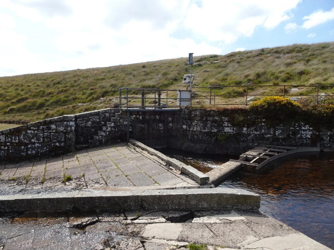
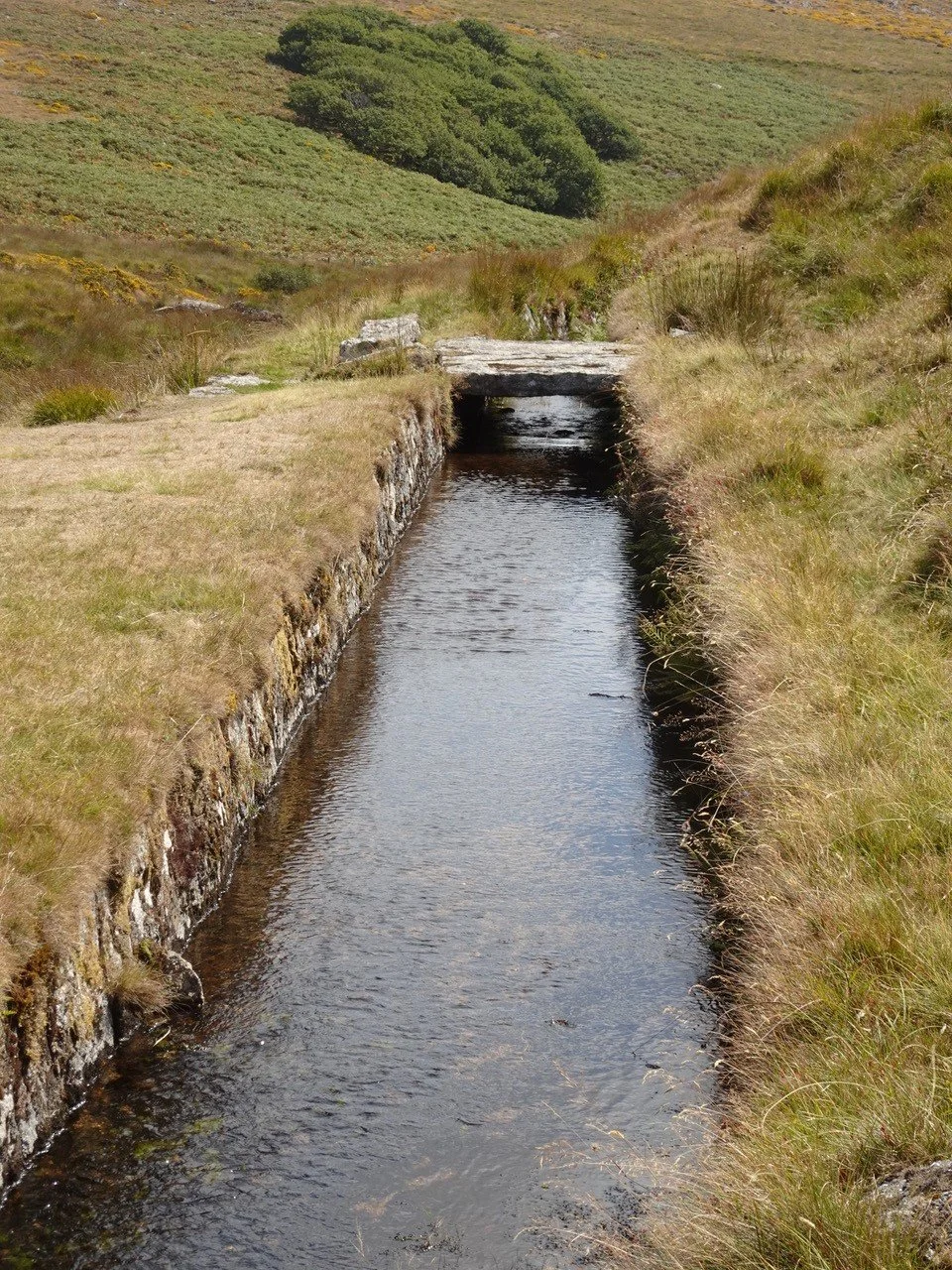
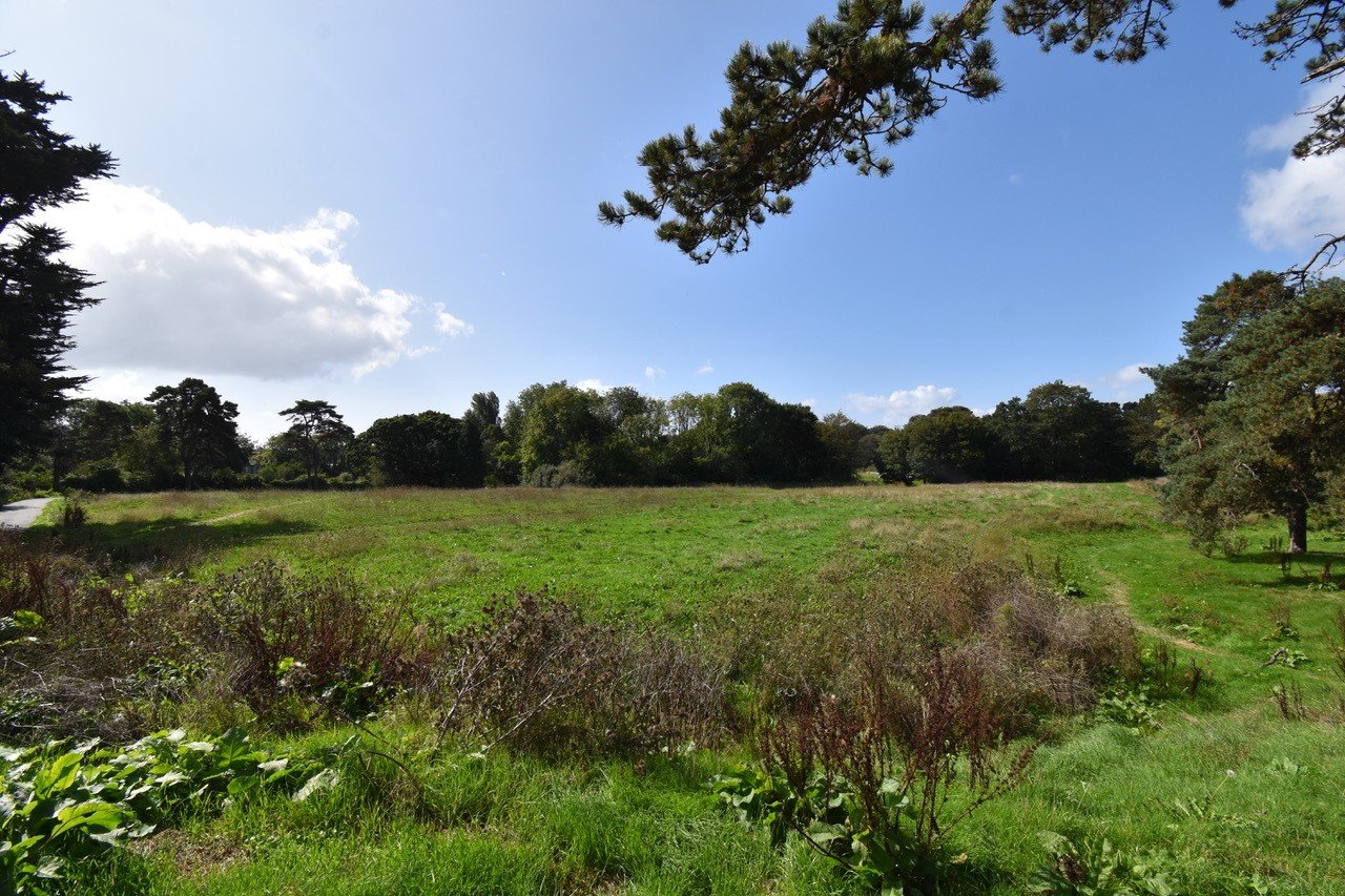
As Plymouth expanded, the limitations of an exposed ditch became clear. The severe winter of 1823 demonstrated that the town could not rely on open flow alone. In response, the Corporation built two reservoirs in 1824: Drake’s Place and No Place Lane. These provided stored water when the leat froze or was obstructed. Conduit houses were closed in 1827, replaced by iron pipes feeding homes directly, marking the transition from communal collection to piped distribution. Engineering improvements continued. Hawksley’s 1864 report identified leakage, irregular gradients and structural weaknesses. He recommended granite lining, a concrete base and harmonised width, transforming the leat from an earth channel into a more durable engineered watercourse.
Another important development was the building of a service reservoir in Crownhill in 1852 followed by the construction of Hartley Reservoir in 1858 fed from pipes from Crownhill. This was a high‑level service reservoir designed to stabilise pressure and support the growing northern suburbs. Hartley became the key balancing point between the upland leat and the town’s distribution network. Additional resilience came from the building of Roborough Reservoir (1885).
The decisive change came in 1894, when the Burrator–Dousland–Roborough pipeline was constructed. This upland pipeline carried water directly from Burrator’s catchment to Roborough, bypassing the open leat entirely. From this point, the leat’s original purpose — conveying potable water from the moor to Plymouth — effectively ended. When Burrator Reservoir opened in 1898, this was formalised: the leat below the dam ceased to carry drinking water and became a secondary industrial watercourse. Plymouth’s system had evolved from a vulnerable moorland ditch into a piped, reservoir‑driven upland supply, with engineered channels only in its upper reaches and no reliance on exposed flow for domestic use.
Stonehouse Leat
Stonehouse’s leat developed in a completely different way because Stonehouse was surrounded by salt water, had no river source of its own and lay low, making fresh groundwater difficult. Built not long after Plymouth’s, in 1593, it carried the important stipulation that no mills were permitted along its course — inserted at Drake’s insistence during committee stage — and it was a modest three‑mile channel fed only by the springs at Torr and Pounds House. Its watershed was small, its flow unreliable and its capacity inadequate for a growing town. Engineering improvements were limited because the source itself could not be enlarged. Stonehouse compensated through agreements rather than infrastructure. Between 1688 and 1713 it agreed to pay to extract water from Plymouth’s leat. However, when Plymouth’s own needs increased, the agreement ended, prompting illegal diversions and the sale of casks of water by enterprising traders.
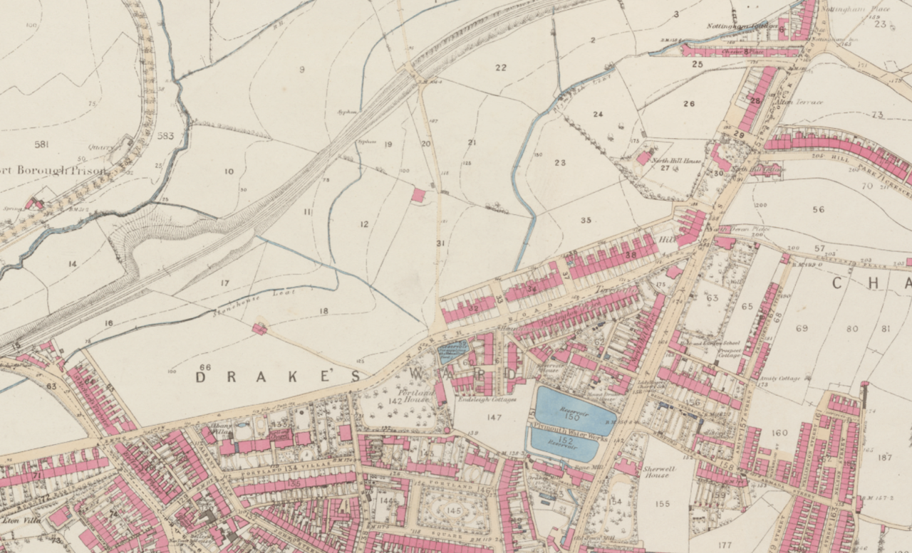
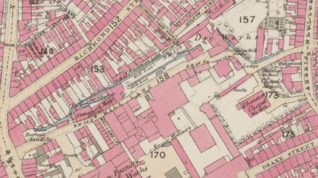
The arrival of the Royal Naval Hospital in 1758 placed further strain on Stonehouse’s already limited supplies. The leat ran directly through the hospital grounds, allowing the institution to prioritise its own requirements, often at the expense of local residents. To secure adequate pressure for its operations, the hospital constructed an octagonal water tower, with the leat pumping water into it. This was one of the earliest instances of Stonehouse using mechanical assistance to compensate for its lack of elevation. The hospital’s demands reduced the volume available to the town even further. Some relief came in 1806, when Stonehouse arranged to purchase water from the newly completed Plymouth Dock Leat, and later when the Admiralty Reservoir at Nowhere Place began supplying the hospital. The 1851 East Stonehouse Waterworks Act authorised a reservoir in Central Park, but its low elevation meant poor pressure and limited benefit. Only in 1867, when Stonehouse paid to connect its system to Plymouth’s Hartley Reservoir, did a dependable piped supply finally arrive. Stonehouse’s engineering evolution was therefore not a progression from ditch to improved leat, but a progression from an inadequate spring‑fed channel to external dependency, ultimately integrating into Plymouth’s upland system. The leat itself did not become more engineered; it became obsolete.
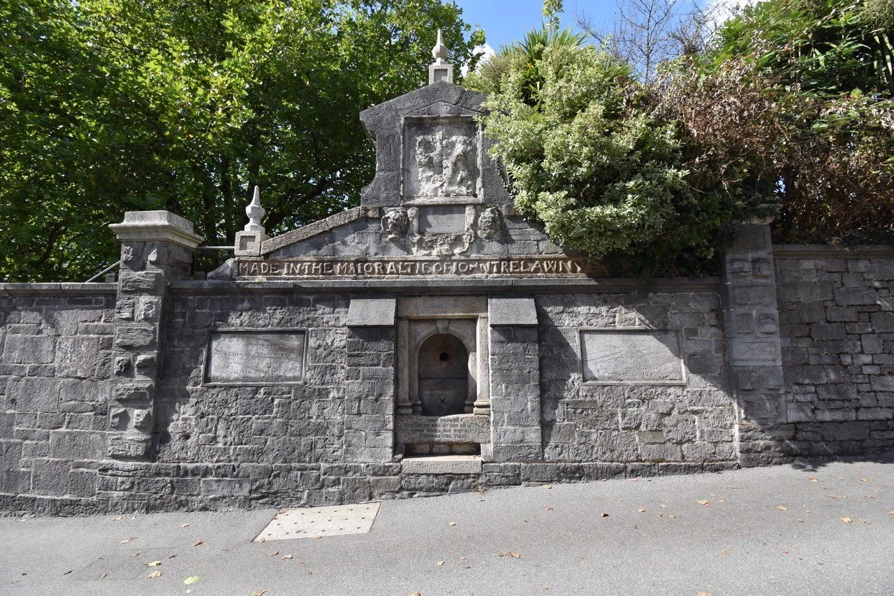
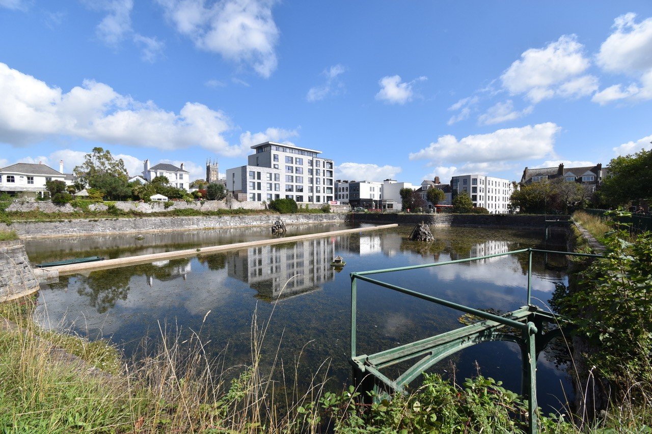
Plymouth Dock
Plymouth Dock was only created in 1690, a full century after Plymouth’s and Stonehouse’s leats had been constructed. It would take another century before its population had grown to the point where water supply became an urgent problem. Repeated requests to use Plymouth’s leat were refused, even when accompanied by offers of payment and proposals to improve the flow of water into it. As a result, Plymouth Dock was forced to construct the longest and most complex leat of all. The 1792 Plymouth Dock Water Supply Act authorised a 27‑mile leat drawing from the West Dart, Cowsic and Blackabrook, built by a private company with £25,000 capital attracted by the prospect of long‑term government contracts to supply the Royal Navy and the military establishments serving the expanding dockyard. From the outset, it incorporated engineering features absent from Plymouth’s Elizabethan ditch. The leat used more innovative techniques, including the Raddick Hill fall, the Meavy aqueduct and the Nun’s Cross tunnel, and its course tended to be straighter than Plymouth’s more meandering route. Although for long stretches the two leats often ran side by side, following a similar line across the moor first mapped out for Plymouth two centuries earlier.
Reservoir construction formed the backbone of Devonport’s resilience. Granby Reservoir, in what is now Devonport Park, served military needs; Rowdens Reservoir (1830) supplied the rising suburb of Stoke; Outlands Reservoir (1833) supported the military establishments; and Brooklands Reservoir (1878), built at Crownhill, added filtration works and piped water to the Stoke reservoir, whose elevation then supplied much of what was by then called Devonport by gravity, removing the need to rely on open flow and thus reduce opportunities for contamination. Granite cladding strengthened the leat, and the 1898 Cowsic aqueduct carried water south in an 18‑inch pipe, aerated by a fountain as it rejoined the channel. Devonport residents paid more for their water but suffered far less during the severe winters of 1881 and 1891 because their reservoir and pipe network provided greater resilience. In 1914 the system was rationalised and diverted into Burrator, but the leat still operates today as part of the upland supply.

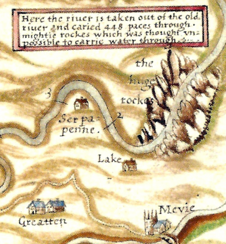
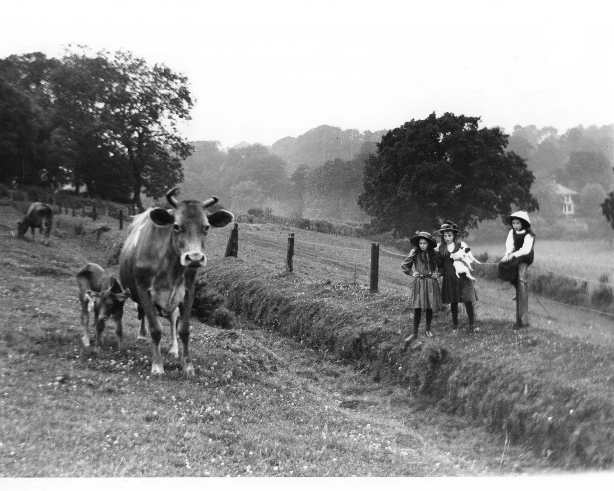
The engineering evolution of the three leats shows three distinct paths. Plymouth strengthened its moorland ditch with reservoirs, granite lining and upland pipelines, reducing reliance on exposed flow. Stonehouse, constrained by geography, eventually abandoned its leat entirely and connected to external supply. Plymouth Dock, drawing on two centuries of technological progress, engineered its leat more innovatively with falls, aqueducts and tunnels, drawing water from three distinct Dartmoor river sources. Over time all three systems moved towards reservoir storage and piped distribution, moving ever closer to the moorland sources of water and reducing open‑air exposure, but each reached that point by a different historical route. The original headweir of Plymouth’s leat — first identified by Robert and James Lampen in the 1570s — now lies beneath Burrator Reservoir. When the three towns amalgamated in 1914, the Devonport leat was diverted into Burrator and all three districts began to draw their water from that site identified more than four centuries earlier. What began as three separate solutions to the same problem ultimately converged into a single upland system centred on the Lampens’ original Meavy intake.
A guest blog by Stephen Luscombe, who organised and led the Our Land Flows… From Peat to Pipe September event - exploring water in Plymouth. All images provided by Stephen Luscombe.
Stephen is a local historian; his website The Westcountry Walker: Hiking through History shares his knowledge and walks with Rupert the dog. He is also Chairman of The Historical Association - Plymouth Branch.